Climate change adaptation plan
What is Climate Change?
The United Nations Framework Convention on Climate Change (UNFCCC) defines this as a change of climate that is the result of direct or indirect human activity, changing the composition of the global atmosphere. Human activity includes the pollution arising from industrial activity and other sources that produce greenhouse gases.
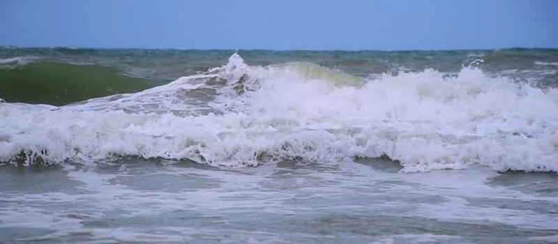
Communities in New Brunswick can expect a rise in sea levels, increased storm surges, warmer weather, more intense rain, winter thaws, an increased risk of ice-jam flooding, larger fluctuations in river runoff, coastal erosion, flooding, extreme weather and fluctuations in groundwater availability.
Since 2012, the City of Bathurst has worked to integrate climate change considerations in its operations. Studies and efforts have been undertaken to produce a Climate Change Adaptation Plan (CCAP). This is meant to be a living document, integrating new studies and/or relevant information as they become available.
First created in 2016, the CCAP addresses sea level rise, coastal erosion and coastal flooding. In 2017, the plan was amended by integrating inland flooding considerations. You can know more by accessing our document by accessing the links below:
Climate Change Adaptation Plan
Climate Change Adaptation Plan - Appendix 4
Interactive maps of Bathurst
*September 2023 update: GeoNB map *https://geonb.snb.ca/flood_hazard_maps/index.html *
The City of Bathurst has also created Interactive Thematic Maps showing coastal flooding scenarios, erosion trends and inland depth to water maps. These interactive maps outline three main themes:
- Coastal Flooding:
- Map showing coastal flooding extent for various scenarios and water levels. Adjust the flood scenario on the left bar to see change in impact.
*Note: Bridges and tops of buildings may appear blue but are not necessarily under water.
**Note: For better results, only activate one option at a time in the map viewer.
- Coastal Erosion:
- Map showing coastal erosion trends. Differences from 2012 and 1944-1945 have been calculated to project coastline position in 2030, 2050 & 2100.
- Inland Flooding:
- Map showing probable depth to water from the surface, thus indicating most vulnerable risk areas in a heavy rain fall event.
*Note: Geology and land use is not considered in map modeling.
Disclaimer (for all maps): These maps are intended for general reference use only. The information on maps was derived from computer modeling. Even if the maps were created with due diligence, the content may be subject to inaccuracies. The boundaries depicted on these maps are not meant to be used authoritatively in any manner and does not imply official endorsement or acceptance by The City of Bathurst or its contributors.